
Unusually large storm system threatens eastern Australia with floods and damaging winds
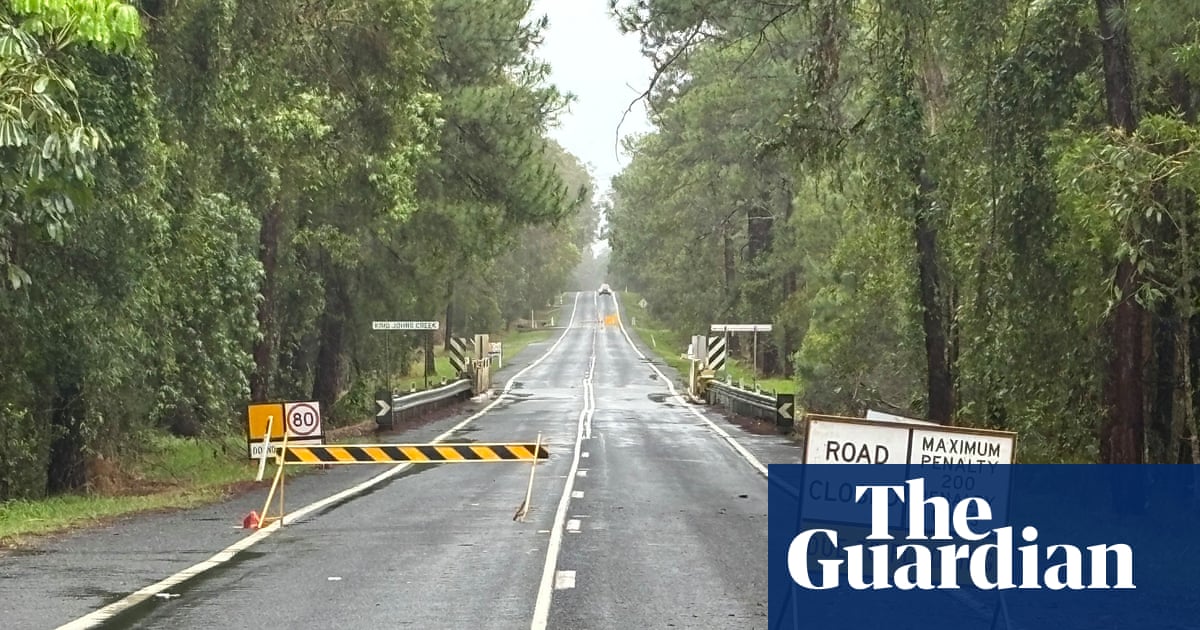
An unusually large, multi-state storm system put much of eastern Australia at risk of severe thunderstorms, hail, flash flooding, power outages and damaging winds. A broad band of storms swept through western New South Wales on Sunday, stretching from the Snowy Mountains to the Queensland border, while gusts reached 100km/h in the state’s central west. Canberra, eastern Victoria and southern Queensland were also in the system’s path.
The Bureau of Meteorology said a cold front moving in from the west was drawing tropical moisture southward after high pressure over the Tasman Sea had blocked weather fronts for about 10 days. Further storms were expected through Sunday evening, with the threat continuing into Monday across northern New South Wales and southern Queensland before the system moved on.
Southern Queensland was already saturated after days of torrential rain. Eight flood warnings remained active, and the Mary River downstream of Gympie was forecast to reach major flood levels at Tiaro from Sunday evening into Monday. Parts of the Sunshine Coast received 200mm to 400mm of rain in a week, following a very dry September.
The bureau expects above-average rainfall across most of Australia from November to January, apart from the far north and much of Tasmania. November is also likely to be unusually warm across the southern half of the continent, especially overnight. Australia has warmed by about 1.5C since 1910.
Continue in the app — vote & join in ➔